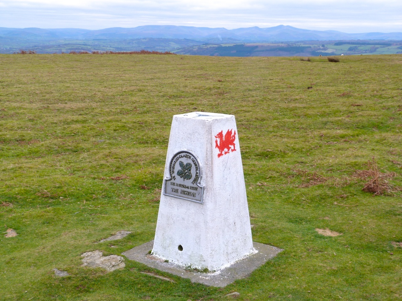
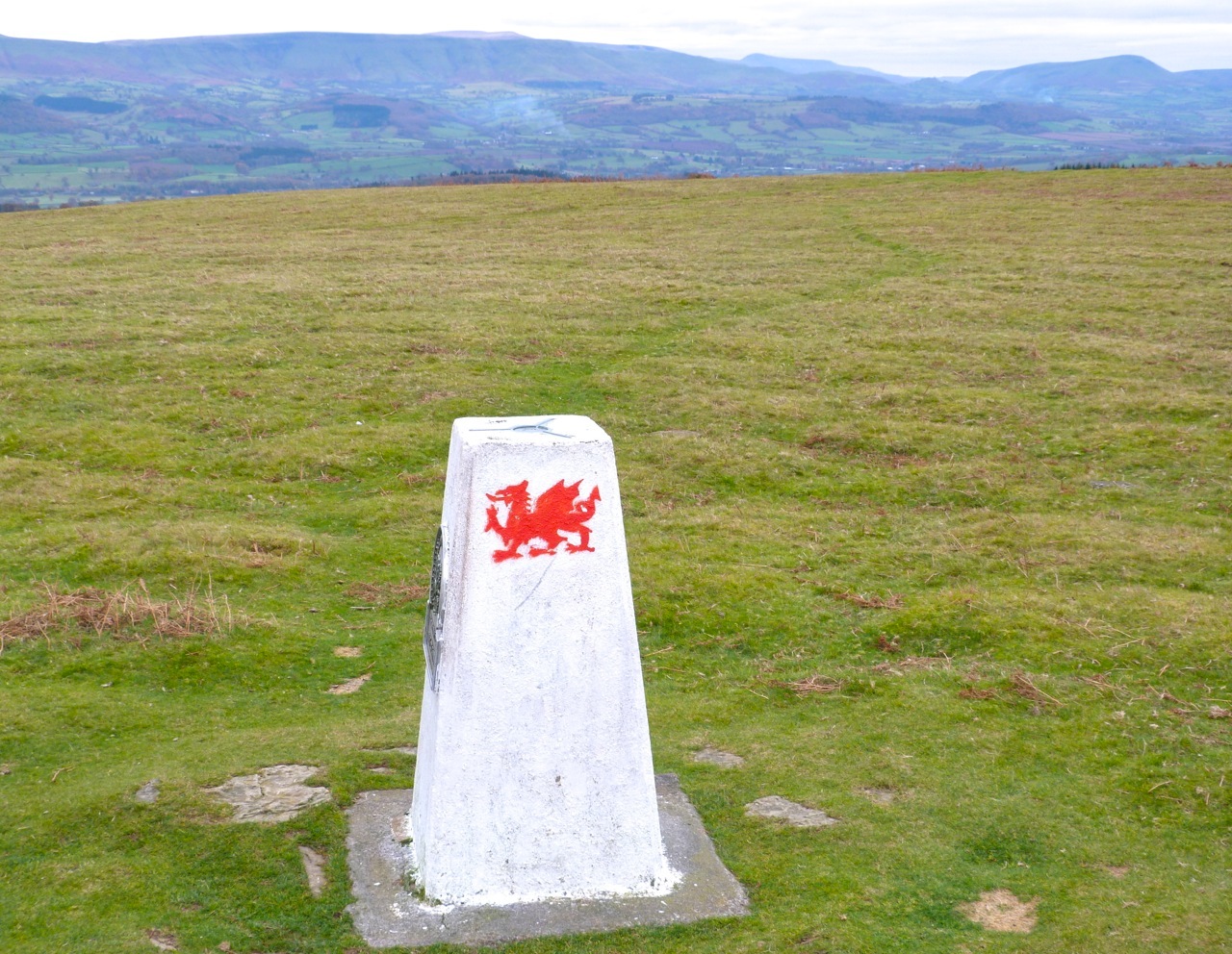
MELBURY BUBB, DORSET: TRIG POINT S5687 & A LIME KILN


TRIG POINT, MELBURY BUBB, DORSET looking roughly east
TRIG POINT, MELBURY BUBB, DORSET looking roughly north

TRIG POINT, MELBURY BUBB, DORSET top plate  LOCATION & DETAILS

Grid reference ST 59357 06701
OSGB36 Station ST70/T40
Trigpointing UK waypoint TP4762
Pillar
Flush Bracket
3rd Order
Condition good


OTHER INFORMATION

MELBURY BUBB is a hamlet on a hillside deep in Hardy country, which the long-distance Hardy Way passes. It has a fine manor house and a Church that is well worth a visit in its own right if you are in the area MELBURY BUBB CHURCH

Lime Kiln Melbury Bubb Dorset (Keith Salvesen)

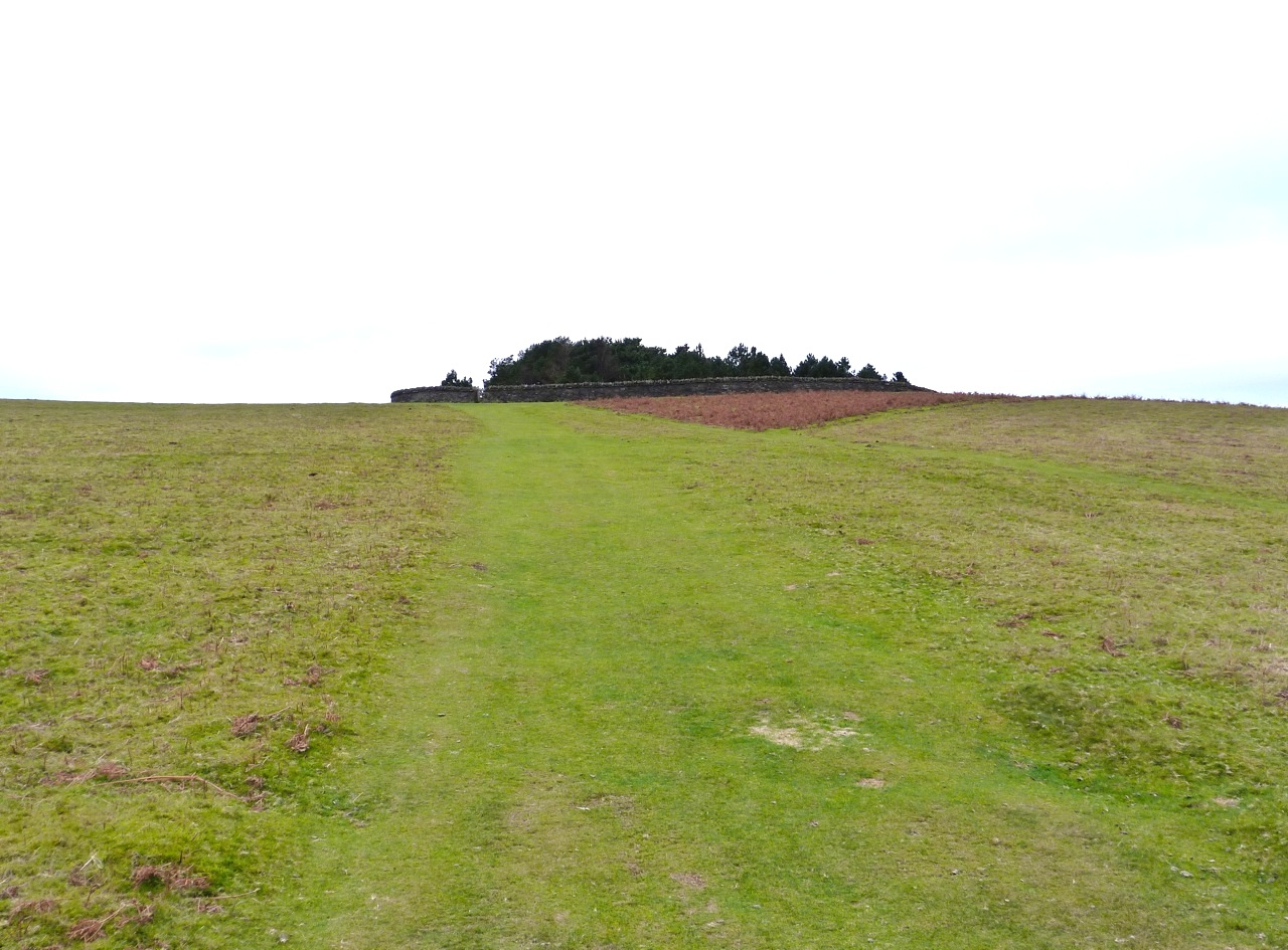
Close to the Trig Point and in a strip of woodland to the right as you climb uphill along the Hardy Way, you’ll find an old lime kiln cut into a high bank. There is also a hollow way (or SUNKEN LANE) close by. If you have read Rogue Male (or seen the film), you can imagine that the steep banks are where the hero was forced to conceal himself as the evil antagonist closed in on him.

Lime Kiln Melbury Bubb Dorset (Keith Salvesen)

Credits: Trigpointing UK; Google Maps

DANEBURY TRIG POINT S1695, HAMPSHIRE


Danebury (or ‘Danebury Rings’) is an Iron Age hill fort in Hampshire. The hill is 143 m (469 ft) in height, not spectacular in itself but its prominence in the landscape gives clear, distant views in all directions over the county and beyond. The fort itself covers around 12 acres, and was extensively excavated in the 1970s. The evidence suggests it was built in the c6 BC, and was used for some 500 years. 

Danebury Trig Point S1695

We hadn’t walked on Danebury for many years, though we drive past it frequently. When we set off for a walk there, I didn’t even know about the trig point – though the location makes perfect sense for one. I had no camera with me, just an iPhone. On a chilly, cloudy May day, these photos will at least give some idea of the extensive views from the Trig Point across the patchwork of fields. Next time, we’ll choose a clear sunny day for a walk there…

Danebury Trig Point S1695Danebury Trig Point S1695Danebury Trig Point S1695Danebury Trig Point S1695Danebury Trig Point S1695Danebury Trig Point S1695 - the plate


The Begwyns Trig Point Map 5The Begwyns Trig Point Map 4

 ‘ALL THE VIEWS, NONE OF THE CLIMB’

In Welsh border country not far north of Hay-on-Wye are the Begwyns, modest hills in unspoilt surroundings with far views to the Black Mountains to the east and the Brecon Beacons to the south. This is National Trust land: you can see their Begwyns page HERE with a useful circular walk map.  A gentle uphill stroll takes you to a feature called The Roundabout, built for the Millennium. There is a trig point nearby with magnificent views through 270º. It must be wonderful on a sunny day; ours was not, yet we could see for miles. The photos are quite poor, however…

The Begwyns Trig Point Map 1 The Begwyns Trig Point Map 2 The Begwyns Trig Point Map 3

The Begwyns - NT sign

It’s an easy ramble up from the road to The RoundaboutThe Begwyns - Enclosure 1

To the east is the northern end of the Back Mountains – Hay Bluff and TwmpaBlack Mountains from The Begwyns

To the south are the Brecon Beacons, with the summit of Pen-y-Fan in the cloudsThe Begwyns - Brecon Beacons

To the west are distant views towards CarmarthenshireThe Begwyns - Trig Point view W

The Trig Pillar stands at 414m ASL. The first 2 views looks south to the Brecon BeaconsThe Begwyns - Trig Point 1The Begwyns - Trig Point 3

This view looks south east to the southern end of the Black Mountains above CrickhowellThe Begwyns - Trig Point 4

The Trig Pillar and stone-built The Roundabout            The Begwyns - Trig Point & Enclosure

The Trig Pillar taken from inside the RoundaboutThe Begwyns - Trig Point from EnclosureThe Begwyns - Trig Pillar Plate

Within The Roundabout is a stone circle with seats round it, like a medieval meeting placeRoundabout circle

Sadly there’s no view from inside The Roundabout. Here’s the inscribed Millennium StoneRoundabout stone

TRIG POINTS AS THE FOCUS FOR A DORSET WALK


Batcombe in the heart of Dorset is a hamlet of farms, cottages, and a tiny medieval church with a fine stone screen. It is also the name of the long hill that rises steeply above it, which we see from our house. This is green Hardy country. The sinister ‘Cross in Hand’ mentioned in Tess is still there, a small battered stone pillar by the roadside now protected by a neat council fence. The fields have mostly been cleared of flints, on the surface at least. There are three trig points across the length of the hill. The advantage of Trigs is that their tendency to be on high ground often goes with nice countryside and scenery.  The middle one on Batcombe is a perfect focus for an easy country walk with huge views in 3 directions, especially south towards Hardy’s Monument and the coast. Time to explore.Batcombe Map 1 jpg Batcombe Map 2 jpg

TRIG POINT S1513, BATCOMBE, DORSET

Batcombe Trig Point walk 4Batcombe Trig Point walk 3Batcombe Trig Point walk 2Batcombe Trig Point walk 1

Looking back towards the Trig Point down the ‘tractor avenue’Batcombe Trig Point walk 5Batcombe Trig Point walk 6Batcombe Trig Point walk 7

This was one of the few sunny days in February and the ground was firm and dry despite the appalling rain that had flooded the lower land and swathes of the Dorset valleys, e.g. those of the Yeo, Frome and Stour. Every 20 metres or so we put up snipe that were invisible amid the stubble and stones on the ground. We were accompanied throughout by a throng of skylarks. These were annoyingly hard to photograph  both on the ground (hard to see) and in the air. Here’s an effort.Batcombe Trig Point walk 8

Some fields were very flinty, with some surprisingly large chunks. Despite the sunshine, it was easy to image poor Tess (or any other Hardy tragic heroine) shivering out in these fields in terrible winter winds and sleet, clad only in a thin kirtlet and shawl, picking the stones bare-handed and putting them in the thracking stoop for transportation as building material to the expanding Casterbridge.Batcombe Trig Point walk 9Batcombe Trig Point walk 10Batcombe Trig Point walk 11Batcombe Trig Point walk 12

AN ANCIENT LIGHTHOUSE, A TRIG POINT & A FINE VIEW: ST CATHERINE’S DOWN, IoW


St Catherine's Hill Trig Point IoW 1

St. Catherine’s Down is a chalk down near the southernmost point of the Isle of Wight, rising to 240 metres above the level of the nearby sea. There is a rewarding walk from a car park on the road, climbing steadily and in places quite steeply. On the way up there are spectacular views across to the Needles to the west.

St Catherine's Hill Trig Point IoW 8

Eventually the track opens out near the top of the hill to reveal an amazing medieval  prototype for a skyrocket near the summit. St Catherine's Lighthouse, Niton IoW 1

This is in fact St. Catherine’s Oratory, known locally as the ‘Pepperpot’, a stone lighthouse built in the 14th century by Walter de Godeton. It is the second oldest lighthouse in the British Isles – only the Roman-built lighthouse at Dover is older.St Catherine's Lighthouse, Niton IoW 2

De Godeton was convicted of scavenging wine ‘belonging to the Church’ from a shipwreck. He was ordered to make amends, under threat of excommunication, by building a lighthouse. Wreck plunder / lighthouse penance – a rare early example of punishment fitting the crime at a time when theft of a sheep might mean death. Fires were lit in the lighthouse tower to warn ships at sea that they were close to the coastline.St Catherine's Lighthouse, Niton IoW 3

There was an attached chapel at one time – hence the ‘Oratory’ – but it has been long since demolished. A replacement lighthouse was begun in 1785, but never completed. Locally this half-finished building is known as the ‘salt pot’.St Catherine's Lighthouse, Niton IoW 4

The hill is surrounded by unspoilt downland, with long views on all sidesSt Catherine's Hill Trig Point IoW 2St Catherine's Hill Trig Point IoW 3

St Catherine's Hill Trig Point IoW 9

There is also a trig point, providing an  unstrenuous target for ‘trig-baggers’. Anyone interested in using trig points as a purpose for a nice walk and needing an incentive for the achievement might like to look at http://www.trigpointinguk.comSt Catherine's Hill Trig Point IoW 6St Catherine's Hill Trig Point IoW 7St Catherine's Hill Trig Point IoW 5St Catherine's Hill Trig Point IoW 4