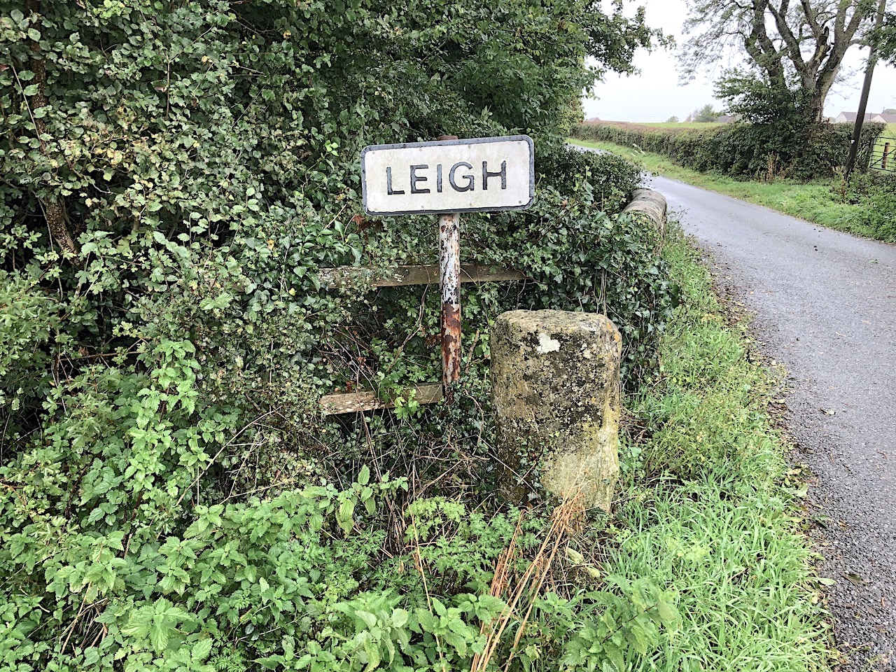

The village of Leigh is about 5 miles south of Sherborne. We live at the top of a steepish hill to the north. We must have been past this boundary marker on foot and by car thousands of times over the years. Yet neither of us had ever noticed it until, during a recent rainy walk, my wife pointed it out.

It’s not in itself a particularly interesting stone, but it marks a historic village boundary beside a small and sinuous stream. This is the Wriggle, later to merge with the River Yeo, join the River Parrett, and eventually debouche into the Bristol Channel.

There are no markings on the face of the stone, and I can’t trace any history of it or of similar stones locally. I haven’t found it on old OS maps. All that can be said for certain is that it considerably pre-dates its metal counterpart.

There’s no sense to be made of the cuts on the top of the stone. It’s just one of those random objects in life that one never notices until one does.