A GOOD YEAR FOR HELLEBORES
FRITILLARIES PLANTED LAST YEAR ARE DOING WELL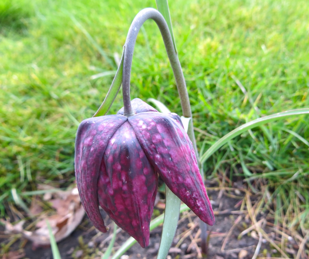
PEACOCK BUTTERFLIES ARE PLENTIFUL 
THE ALPACAS ARE ENJOYING THE SUNSHINE
A GOOD YEAR FOR HELLEBORES
FRITILLARIES PLANTED LAST YEAR ARE DOING WELL
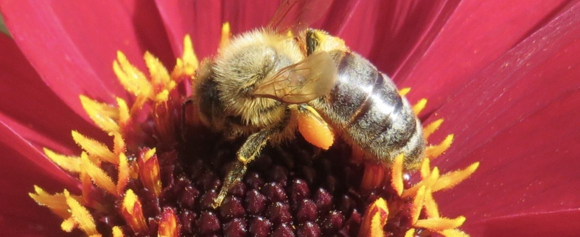
PEACOCK BUTTERFLIES ARE PLENTIFUL
THE ALPACAS ARE ENJOYING THE SUNSHINE
We’ve been away from Dorset for 4 weeks. We left a cold, still-slumbering winter garden and have returned to a colourful Spring one with birds, bees and butterflies. I took a look at the daffodils that are rather randomly dotted around. We let them decide where to grow, and occasionally divide a clump to spread them around a bit. I found eight varieties, of which I only know the name of one (pheasant’s eye) and a half (the half being our nickname for it, see below).


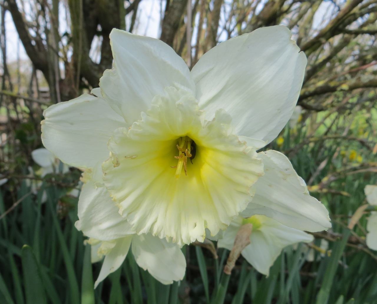
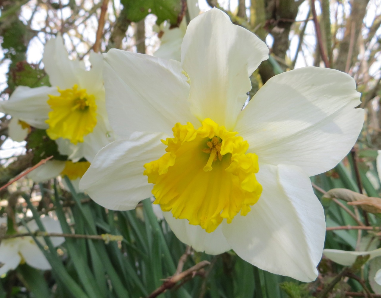
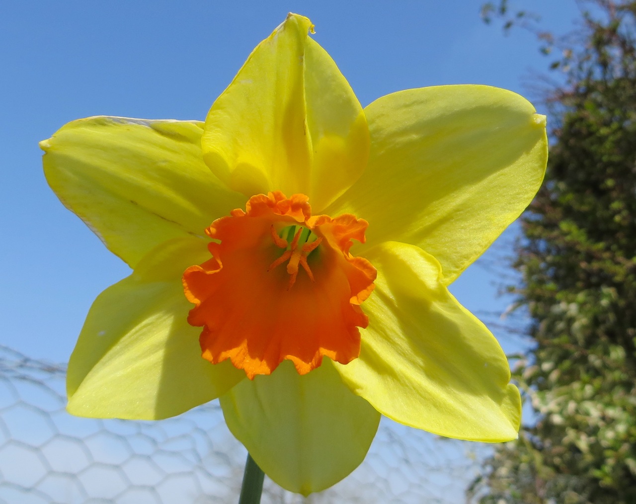

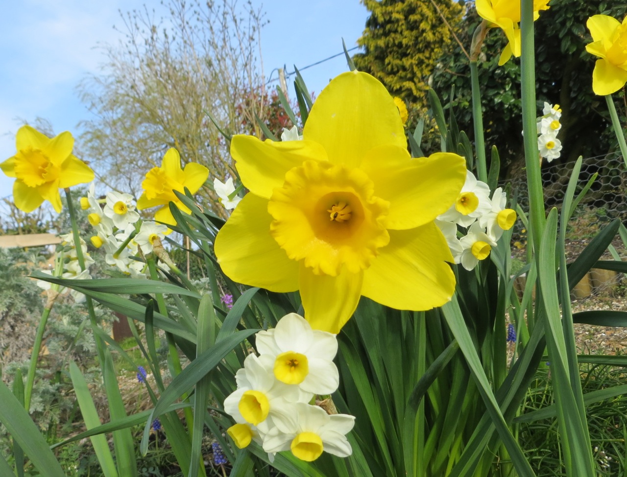
The daffodil below grows on the west coast of Ireland. It is a type of hardy narcissus, with stout leaves and a liking for exposed windy places in the garden. We call it ‘Narcissus Marcus Malus’, because our friend Mark ‘liberated’ some from close to his house in The Burren, Co. Clare. Bad Mark! They are very robust, with small flowers. The second image shows them with a ‘Standard British Daffodil’ (= One ‘Wordsworth’) as in the top image, for size comparison.

This little Blog has been rather more neglected than usual of late while we have been away. Now back in the UK, and hoping to pay it some attention soon now that all the fun is over… Book launched, fish caught, things eaten and drunk. Reality check starts… NOW.


Batcombe in the heart of Dorset is a hamlet of farms, cottages, and a tiny medieval church with a fine stone screen. It is also the name of the long hill that rises steeply above it, which we see from our house. This is green Hardy country. The sinister ‘Cross in Hand’ mentioned in Tess is still there, a small battered stone pillar by the roadside now protected by a neat council fence. The fields have mostly been cleared of flints, on the surface at least. There are three trig points across the length of the hill. The advantage of Trigs is that their tendency to be on high ground often goes with nice countryside and scenery. The middle one on Batcombe is a perfect focus for an easy country walk with huge views in 3 directions, especially south towards Hardy’s Monument and the coast. Time to explore.

TRIG POINT S1513, BATCOMBE, DORSET


Looking back towards the Trig Point down the ‘tractor avenue’


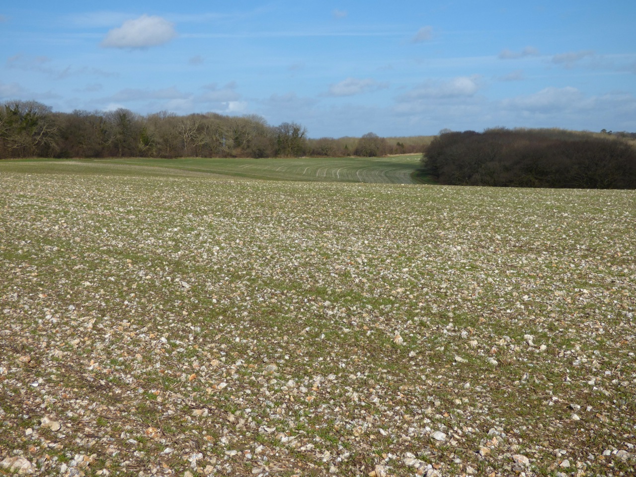
This was one of the few sunny days in February and the ground was firm and dry despite the appalling rain that had flooded the lower land and swathes of the Dorset valleys, e.g. those of the Yeo, Frome and Stour. Every 20 metres or so we put up snipe that were invisible amid the stubble and stones on the ground. We were accompanied throughout by a throng of skylarks. These were annoyingly hard to photograph both on the ground (hard to see) and in the air. Here’s an effort.
Some fields were very flinty, with some surprisingly large chunks. Despite the sunshine, it was easy to image poor Tess (or any other Hardy tragic heroine) shivering out in these fields in terrible winter winds and sleet, clad only in a thin kirtlet and shawl, picking the stones bare-handed and putting them in the thracking stoop for transportation as building material to the expanding Casterbridge.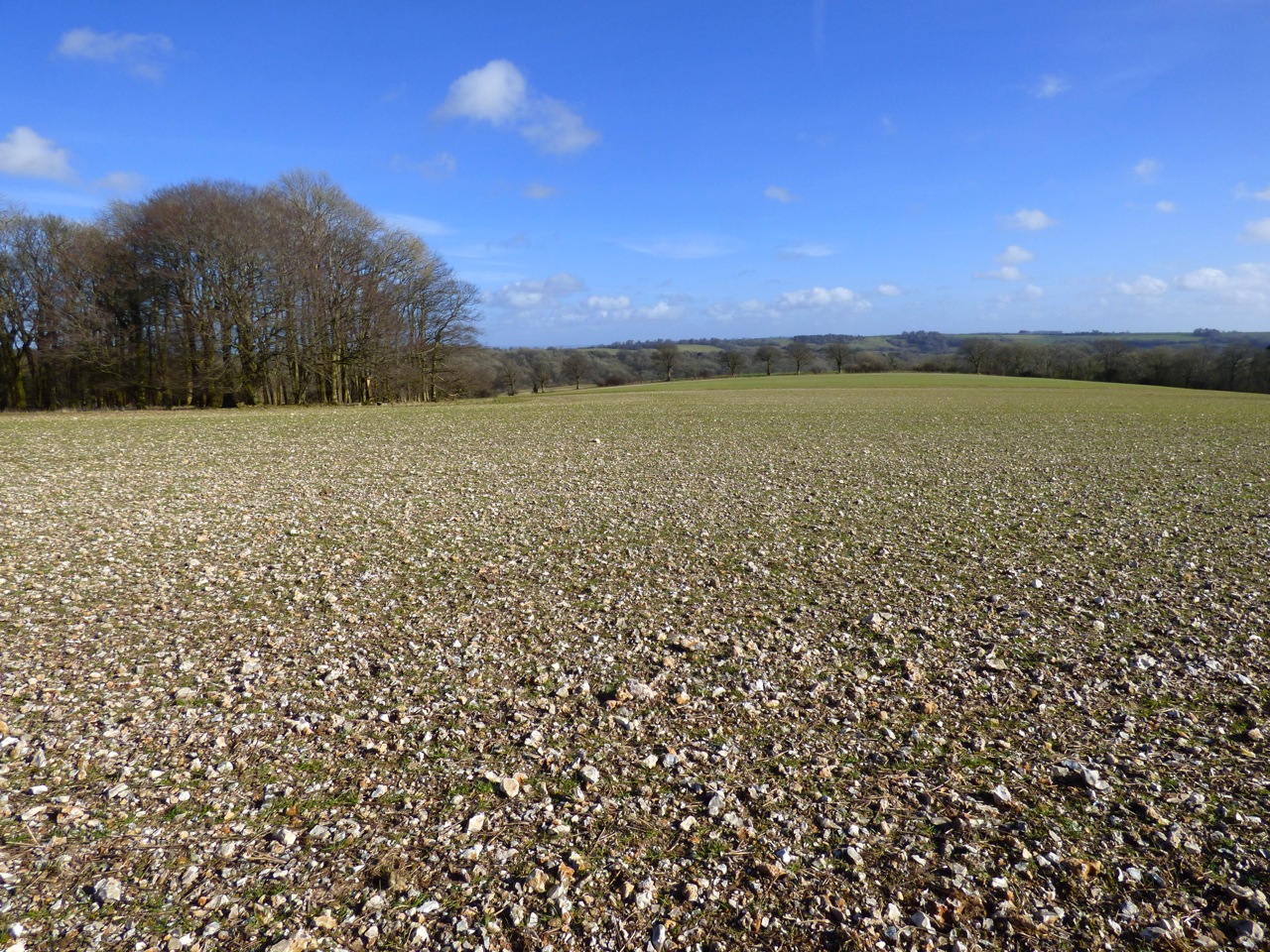


There are various websites revealing the weird and wonderful oddities thrown up by the Google mapping projects. Google ‘Google Map Fail’ or ‘Google Streetview Fail’ for examples, including the location of Tessa Jowell inside the Houses of Parliament, complete with directions for reaching ‘Tony Blair’ in the time of 4 hours 40 mins.  The aerial mapping project has similarly revealed amazing vast drawings in remote desert regions, viewable only from the air; jet fighters laid up in municipal car parks; and Coca Cola logos in surprising places. By chance, I found one of my own when I was looking at the topography of the Oxfordshire / Wiltshire border.
Something of interest in a field close to Ashbury?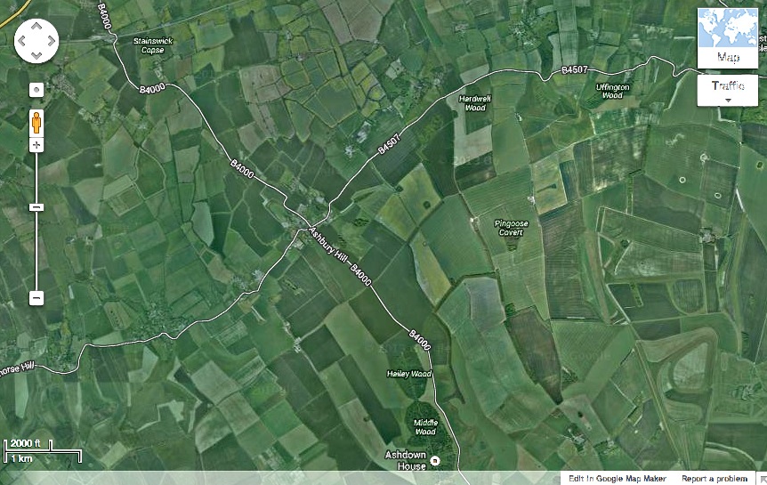
Zoom in – what on earth is that in the field near top centre?
Mmmmm. Looks familiar, but out of place…

Good grief – aliens have been at work…

…and they plainly know all about undersea creatures on Earth
Harcourt Arboretum is an outstation of the Oxford University Botanic Garden. It covers 130 acres and contains some very beautiful trees, shady woods to walk in, a lake, and plenty of open space. It is an excellent place for a picnic, especially with children – plenty of thickets for dens and for hiding in. There are also peacocks that are tame enough to take an interest in the food you have spread out on your rug…

The Osprey is one of relatively few bird species that can be found both in Britain and in the Bahamas. This picture was taken by a friend on ABACO last year. It swooped into the sea, snatched a fair-sized bonefish (note the distinctive deeply forked tail), and carried it to a convenient utility post for lunch.
 Photo credit: Woody Bracey
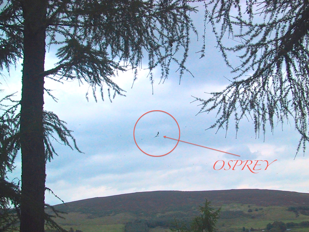
I’ve never seen an osprey that close anywhere. Some years ago we watched one take a large salmon from the mouth of the River Spey and carry it off held characteristically ‘fore and aft’, but we had no camera with us. My best shot was also in Scotland in the very early days of digital cameras when 4mb and 2x zoom was considered amazing. Here it is, in all its majesty…


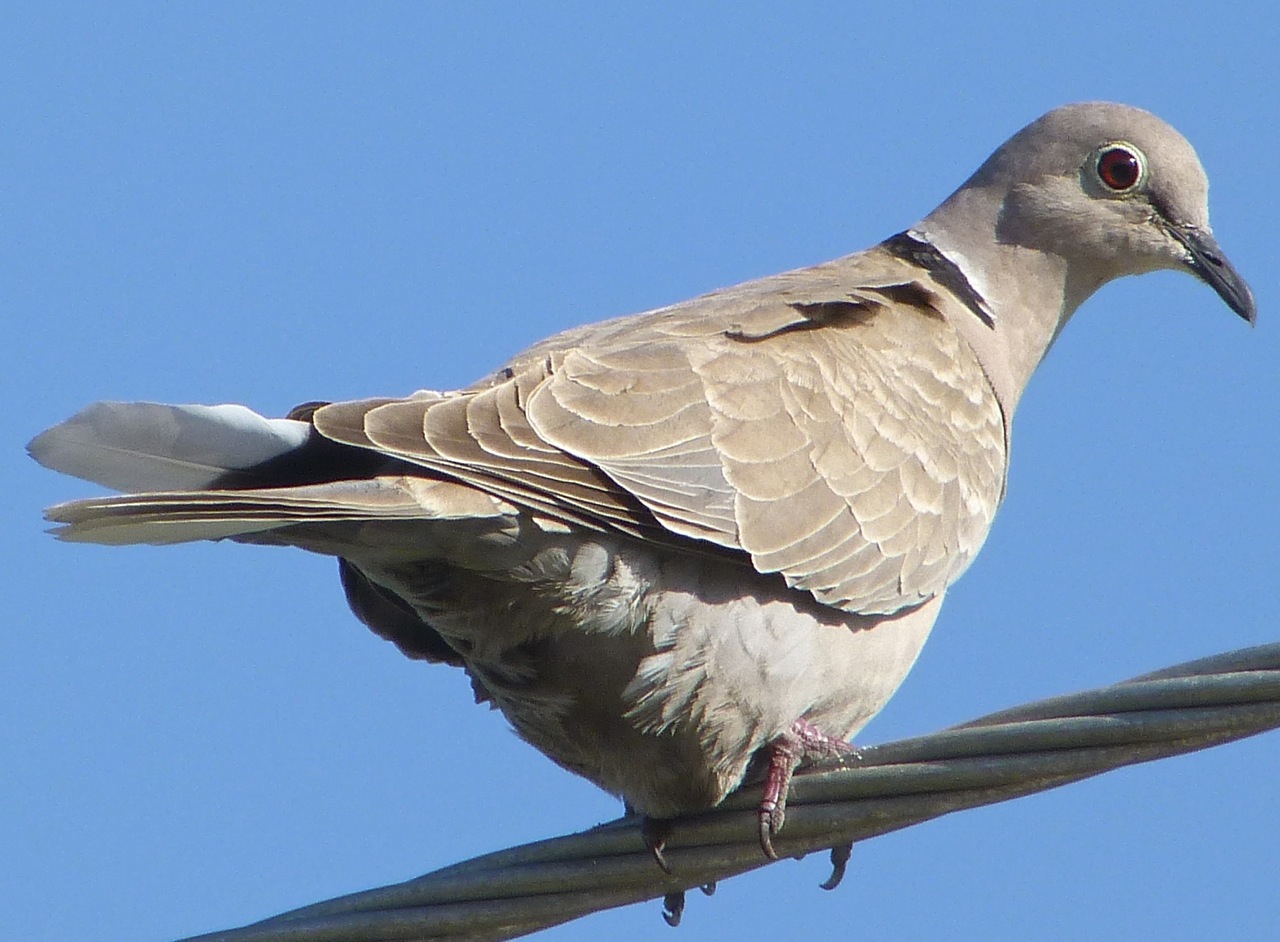
COLLARED DOVE
PIGEON

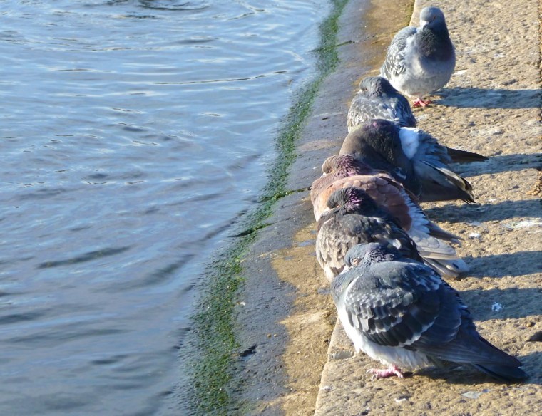
COLD PIGEONS
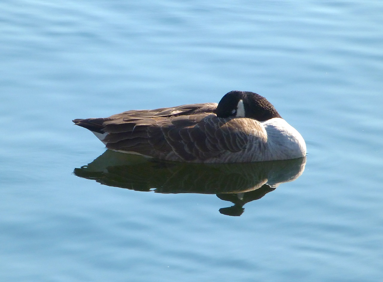
GOOSE
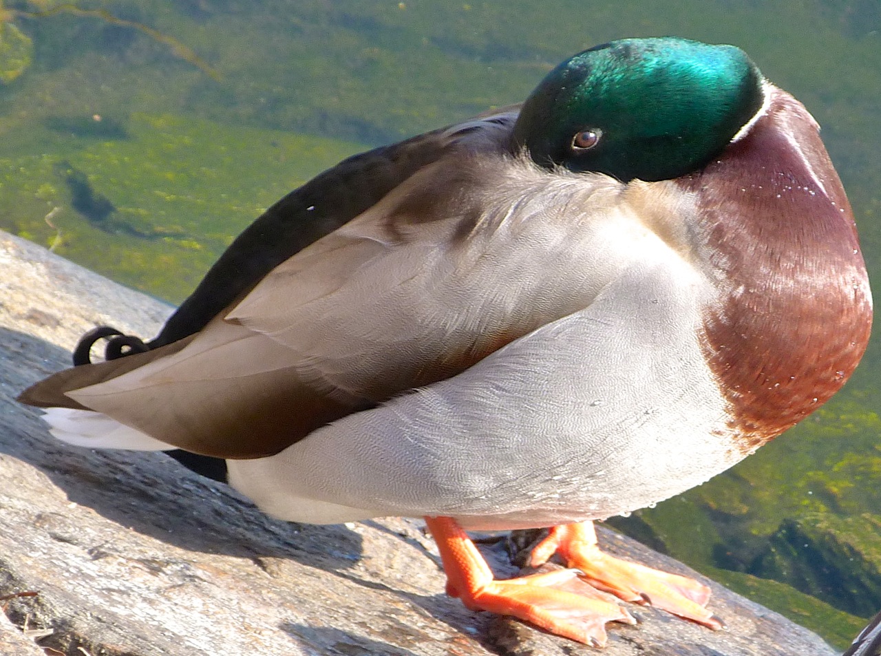
MALLARD
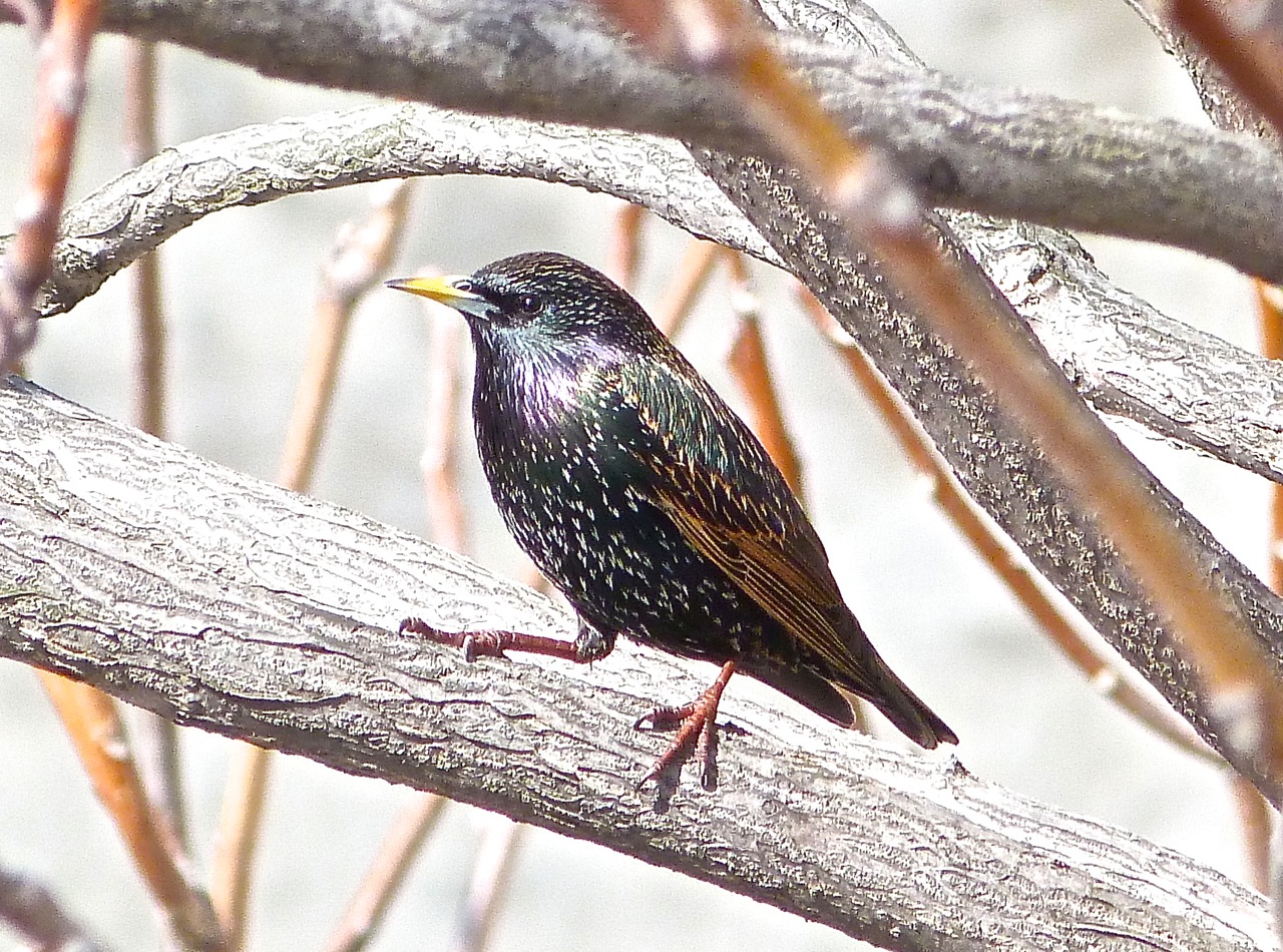
STARLING
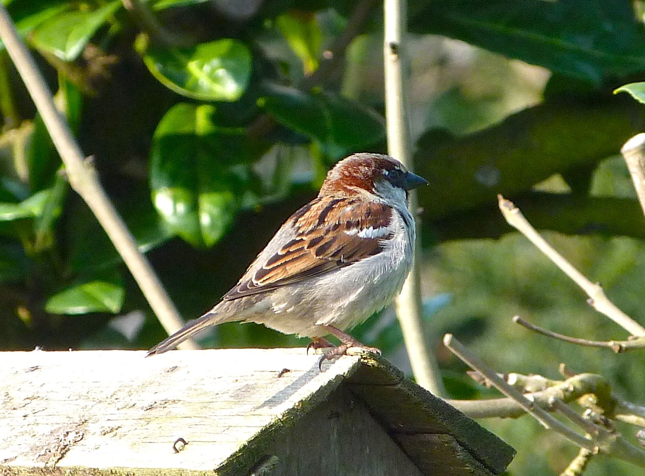
SPARROW
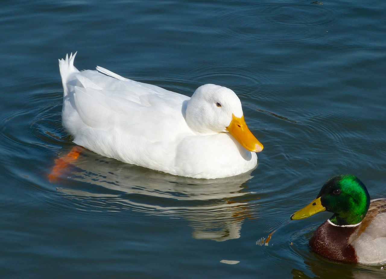
WHITE DUCK
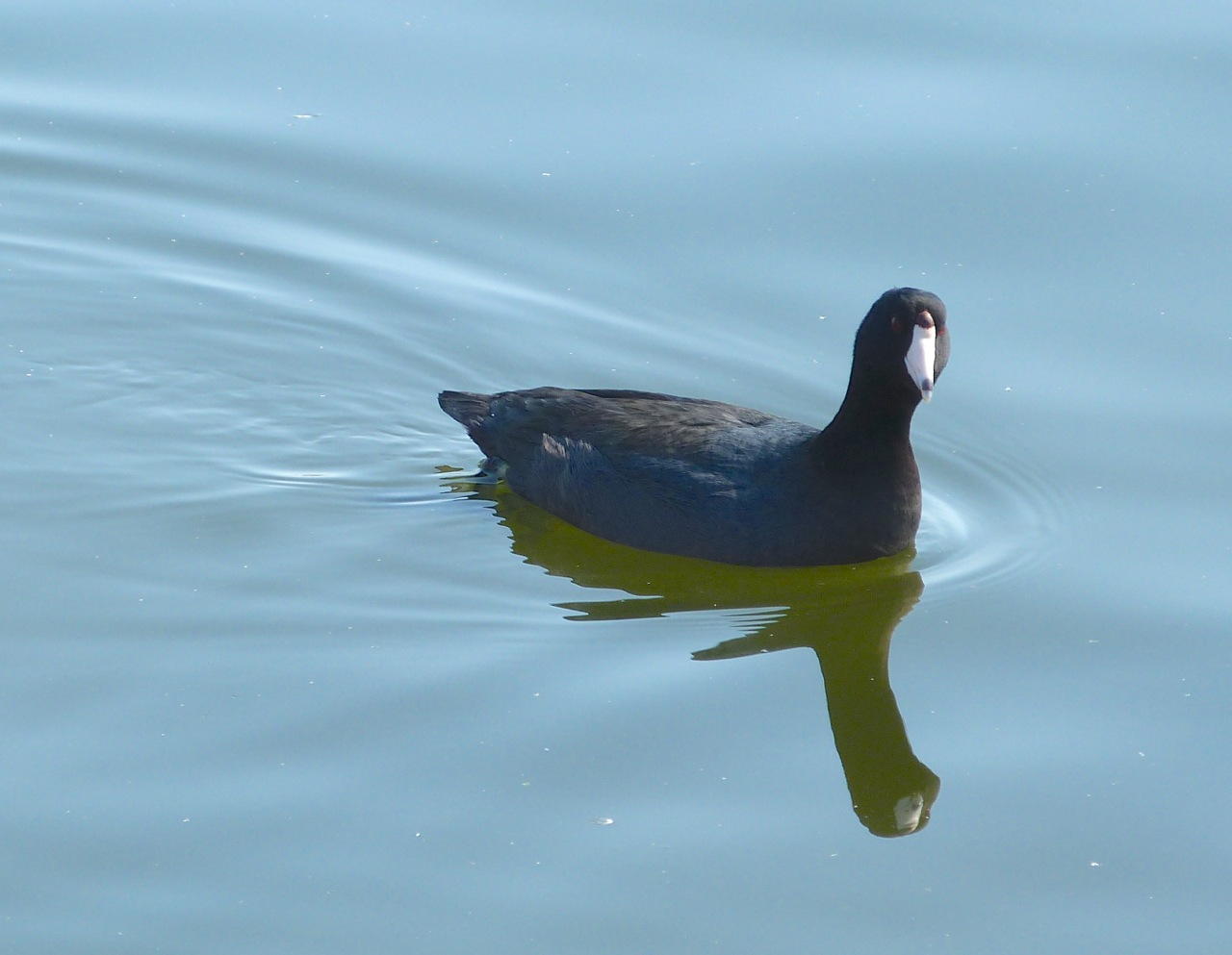
COOT
GULLS

